
IHR WARENKORB IST AKTUELL LEER.
Haben Sie noch nichts passendes gefunden? Stöbern Sie durch unser komplettes Sortiment.
Oder melden Sie sich an bzw. registrieren Sie sich.
- Kostenlose Lieferung
- Kauf auf Rechnung
- Ex Libris Tiefpreis
- Filiallieferung und 650+ Abholorte
- Rabatt-Bons als Club-Mitglied
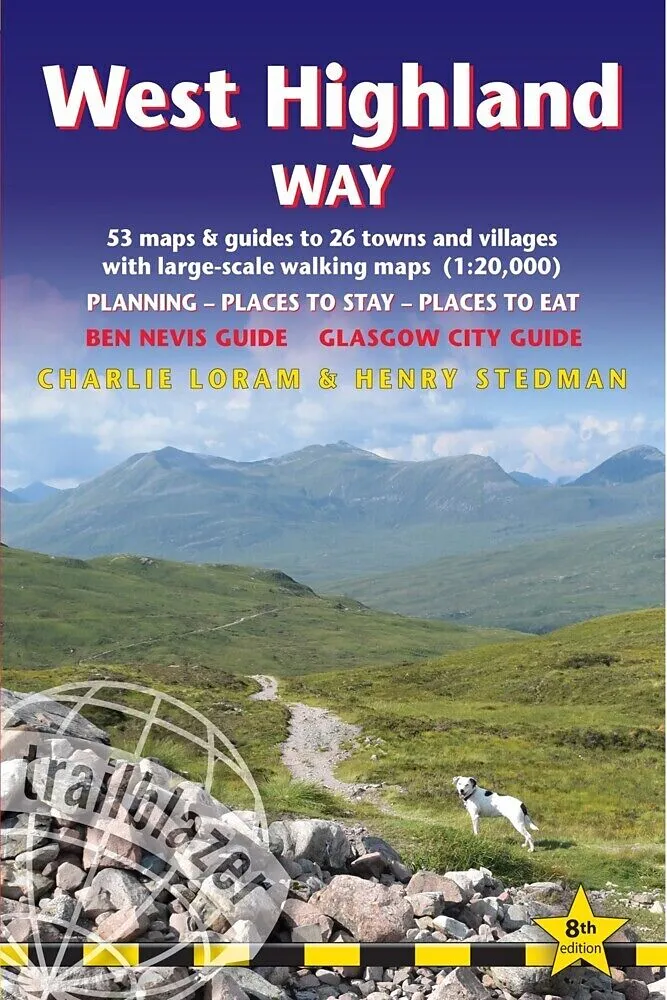
West Highland Way
Beschreibung
Informationen zum Autor By Charlie Loram and Henry Stedman Klappentext The West Highland Way passes through some of the most spectacular scenery in all of Britain. From the outskirts of Glasgow it winds for 96 miles (154.5km) along the wooded banks of Loch Lom...Format auswählen
- Kartonierter EinbandCHF 28.70
- Kartonierter EinbandCHF 30.00

Wird oft zusammen gekauft
Andere Kunden kauften auch
Beschreibung
Informationen zum Autor By Charlie Loram and Henry Stedman Klappentext The West Highland Way passes through some of the most spectacular scenery in all of Britain. From the outskirts of Glasgow it winds for 96 miles (154.5km) along the wooded banks of Loch Lomond, across the wilderness of Rannoch Moor, over the mountains above Glencoe to a dramatic finish passing Ben Nevis - Britain's highest mountain - into the centre of Fort William. This all-in-one hiking route guide, maps and accommodations for the 96-mile West Highland Way, in Scotland. Includes 53 large-scale walking maps (3 1/8 inches to 1 mile); 4 town maps and 10 overview maps. Full details of all accommodations and campsites, restaurants and pubs; plus full public transport information. Includes day-walks. 4 town plans and 53 large-scale walking maps - at just under 1:20,000 - showing route times, places to stay, points of interest and much morePlus 10 overview mapsItineraries for all walkers - whether walking the route in its entirety over seven to eight days or sampling the highlights on day walks and short breaksPractical information for all budgets - camping, bunkhouses, hostels, B&Bs, pubs and hotels - where to stay, where to eat, what to see, plus detailed street plansComprehensive public transport information - for all access points on the path.Flora and fauna - four page full color flower guide, plus an illustrated section on local wildlifeGreen hiking - understanding the local environment and minimizing our impact on itGPS waypoints. These are also downloadable from the Trailblazer website.Includes extra colour sections: 16pp colour introduction and 10pp of colour mapping for stage sections (one stage per page) with trail profiles. Zusammenfassung All the information you need to enjoy your hiking adventure along the West Highland Way in this fully revised 8th edition. Inhaltsverzeichnis INTRODUCTIONWest Highland WayHistory 8 How difficult is it? 9How long do you need? 10 When to go 12PART 1: PLANNING YOUR WALKPractical information for the walkerRoute finding 17 Accommodation 18 Food and drink 22Money 24 Other services 25 Walking companies 25 Information for foreign visitors 26 Walking with dogs 28 Mountain biking 29Budgeting 29ItinerariesVillage and town facilities 31 Which direction? 32Suggested itineraries 32 Hillwalking side trips 33 Day and weekend walks 34What to takeKeep your luggage light 35 How to carry it 35 Footwear 36Clothes 37 Toiletries 38 First-aid kit 38 General items 38Sleeping bag 39 Camping gear 39 Money 39 Maps 40Sources of further information 40 Recommended reading 42Getting to and from the West Highland WayNational transport 42 Getting to Britain 43Public transport map 46 Local transport 48PART 2: MINIMUM IMPACT WALKING & OUTDOOR SAFETYMinimum impact walkingEconomic impact 49 Environmental impact 50 Access 53Outdoor safetyAvoidance of hazards 56 Weather forecasts 56 Water 57Blisters 57 Bites 57 Hypothermia 59 Hyperthermia 60PART 3: THE ENVIRONMENT & NATUREConserving Scotland's natureScottish Natural Heritage (SNH) 62 Campaigning & conservation organisations 63 Beyond conservation 64Flora and faunaFlowers 65 Trees 67 Mammals 71 Reptiles 74Butterflies 74 Birds 74 PART 4: GLASGOWCity guideOrientation 78 Arrival and departure 78 Getting around and to Milngavie 79 Services 82 Festivals & events 83 Where to stay 83 Where to eat and drink 87 What to see and do 91Walking from Glasgow to Milngavie 95PART 5: ROUTE GUIDE AND MAPSUsing this guide 99Milngavie to Fort WilliamMilngavie 100Milngavie to Drymen 103Drymen to Balmaha 116Balmaha to Rowardennan 121Rowardennan to Inversnaid 128Inversnaid to Inverarnan 134Inverarnan to Crianlarich 139Crianlarich to Tyndrum 143Tyndrum to Bridge of Orchy 149 Bridge of Orchy to Kingshouse 155 Glen Coe 162Kingshouse to Kinlochleven 170Kinlochleven to Fort William 174 Cli...
Autorentext
By Charlie Loram and Henry Stedman
Klappentext
The West Highland Way passes through some of the most spectacular scenery in all of Britain. From the outskirts of Glasgow it winds for 96 miles (154.5km) along the wooded banks of Loch Lomond, across the wilderness of Rannoch Moor, over the mountains above Glencoe to a dramatic finish passing Ben Nevis - Britain's highest mountain - into the centre of Fort William.
This all-in-one hiking route guide, maps and accommodations for the 96-mile West Highland Way, in Scotland. Includes 53 large-scale walking maps (3 1/8 inches to 1 mile); 4 town maps and 10 overview maps. Full details of all accommodations and campsites, restaurants and pubs; plus full public transport information. Includes day-walks.
- 4 town plans and 53 large-scale walking maps - at just under 1:20,000 - showing route times, places to stay, points of interest and much more
- Plus 10 overview maps
- Itineraries for all walkers - whether walking the route in its entirety over seven to eight days or sampling the highlights on day walks and short breaks
- Practical information for all budgets - camping, bunkhouses, hostels, B&Bs, pubs and hotels - where to stay, where to eat, what to see, plus detailed street plans
- Comprehensive public transport information - for all access points on the path.
- Flora and fauna - four page full color flower guide, plus an illustrated section on local wildlife
- Green hiking - understanding the local environment and minimizing our impact on it
- GPS waypoints. These are also downloadable from the Trailblazer website.
- Includes extra colour sections: 16pp colour introduction and 10pp of colour mapping for stage sections (one stage per page) with trail profiles.
Zusammenfassung
All the information you need to enjoy your hiking adventure along the West Highland Way in this fully revised 8th edition.
Inhalt
INTRODUCTION
West Highland Way
History 8 – How difficult is it? 9
How long do you need? 10 – When to go 12
PART 1: PLANNING YOUR WALK
Practical information for the walker
Route finding 17 – Accommodation 18 – Food and drink 22
Money 24 – Other services 25 – Walking companies 25 – Information for foreign visitors 26 – Walking with dogs 28 – Mountain biking 29
Budgeting 29
Itineraries
Village and town facilities 31 – Which direction? 32
Suggested itineraries 32 – Hillwalking side trips 33
Day and weekend walks 34
What to take
Keep your luggage light 35 – How to carry it 35 – Footwear 36
Clothes 37 – Toiletries 38 – First-aid kit 38 – General items 38
Sleeping bag 39 – Camping gear 39 – Money 39 – Maps 40
Sources of further information 40 – Recommended reading 42
Getting to and from the West Highland Way
National transport 42 – Getting to Britain 43
Public transport map 46 – Local transport 48
PART 2: MINIMUM IMPACT WALKING & OUTDOOR SAFETY
Minimum impact walking
Economic impact 49 – Environmental impact 50 – Access 53
Outdoor safety
Avoidance of hazards 56 – Weather forecasts 56 – Water 57
Blisters 57 – Bites 57 – Hypothermia 59 – Hyperthermia 60
PART 3: THE ENVIRONMENT & NATURE
Conserving Scotland's nature
Scottish Natural Heritage (SNH) 62 – Campaigning & conservation organisations 63 – Beyond conservation 64
Flora and fauna
Flowers 65 – Trees 67 – Mammals 71 – Reptiles 74
Butterflies 74 Birds 74
PART 4: GLASGOW
City guide
Orientation 78 – Arrival and departure 78 – Getting around and to Milngavie 79 – Services 82 – Festivals & events 83 – Where to
stay 83 – Where to eat and drink 87 – What to see and do 91
Walking from Glasgow to Milngavie 95
PART 5: ROUTE GUIDE AND MAPS
Using this guide 99
Milngav…