Willkommen. Schön, sind Sie da!
0

IHR WARENKORB IST AKTUELL LEER.
Haben Sie noch nichts passendes gefunden? Stöbern Sie durch unser komplettes Sortiment.
Oder melden Sie sich an bzw. registrieren Sie sich.
Ihre Vorteile
- Kostenlose Lieferung
- Kauf auf Rechnung
- Ex Libris Tiefpreis
- Filiallieferung und 650+ Abholorte
- Rabatt-Bons als Club-Mitglied
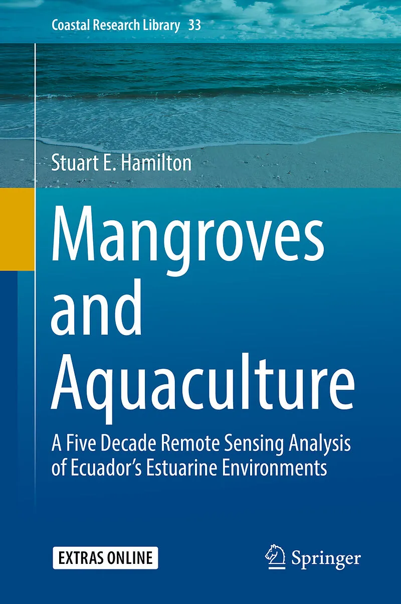
Mangroves and Aquaculture
Beschreibung
This book uses five decades of map data, air photos, and medium to high-resolution satellite imagery to track the expansions of aquaculture and the loss of both estuarine and mangrove land covers in Ecuador. The results are staggering. In some regions, Ecuado...
Format auswählen
- Fester EinbandCHF 144.00
- E-Book (pdf)CHF 111.90
- Kartonierter EinbandCHF 121.20
TIEFPREIS
CHF144.00
Print on Demand - Exemplar wird für Sie gedruckt.
Kostenlose Lieferung
Kein Rückgaberecht

Weitere Produkte aus der Reihe "Coastal Research Library"
Band 33![Fester Einband Mangroves and Aquaculture von Stuart E. Hamilton]()

Tief- preis
- Mangroves and Aquaculture
- Stuart E. Hamilton
Sie sind hier.


